Restoration Map
Restoration Map is an open-source and free web-based application to help plan, implement, and assess ecological restoration projects within Chicago Wilderness natural areas. It is designed to encourage collaboration and improve communication among stakeholders including the landowner agencies, volunteers, restoration contractors, interns, and partner conservation organizations.
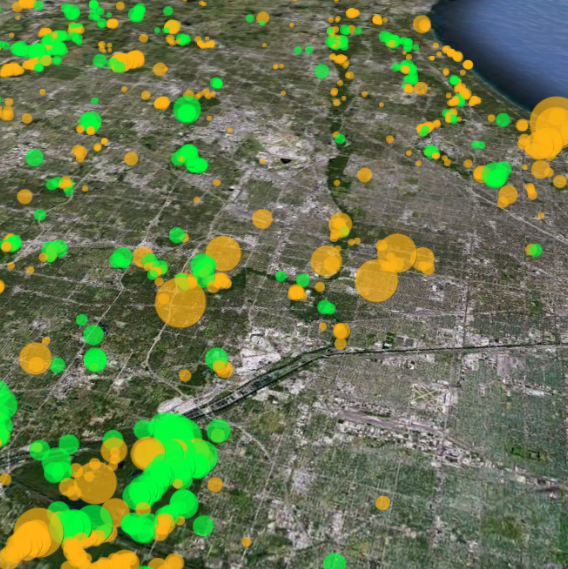
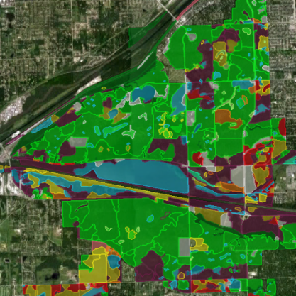
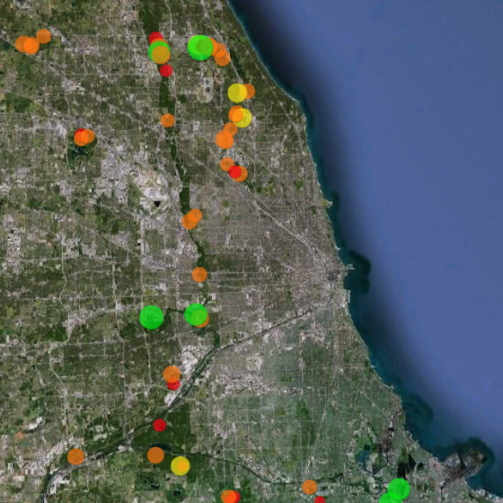
The map's users have entered over 1800 map layers representing 13 years of management work and experimentation in Chicago-area restoration projects. By integrating long term monitoring data from the Bird Conservation Network (eBird), the Calling Frog Survey, and other sources, Restoration Map provides feedback on the effects of restoration work, therefore utilizing an adaptive management approach.
Restoration Map has been developed with the support of the National Audubon Society using all free and open-source software. The concept was inspired by Stephen Packard's stewardship of the beautiful Somme Prairie Grove. The map is built on PHP and MySQL, and uses the Google Earth plugin.
Learn more at http://restorationmap.org
Source code: https://github.com/wf8/restorationmap
Citation:
Freyman, W.A. and K.A. Glennemeier. 2014. Restoration Map: a web-based tool for spatial and participatory adaptive management of ecological restoration projects. Ecological Restoration (32-1) [html] [pdf]